Change detection
Compare visible site conditions across time and direct attention to the areas that changed.
Capability / 02
A current, repeatable view of visible site conditions—anywhere on Earth, delivered daily or on demand.
A persistent view
When field conditions change faster than reporting cycles, current imagery becomes an operating advantage.
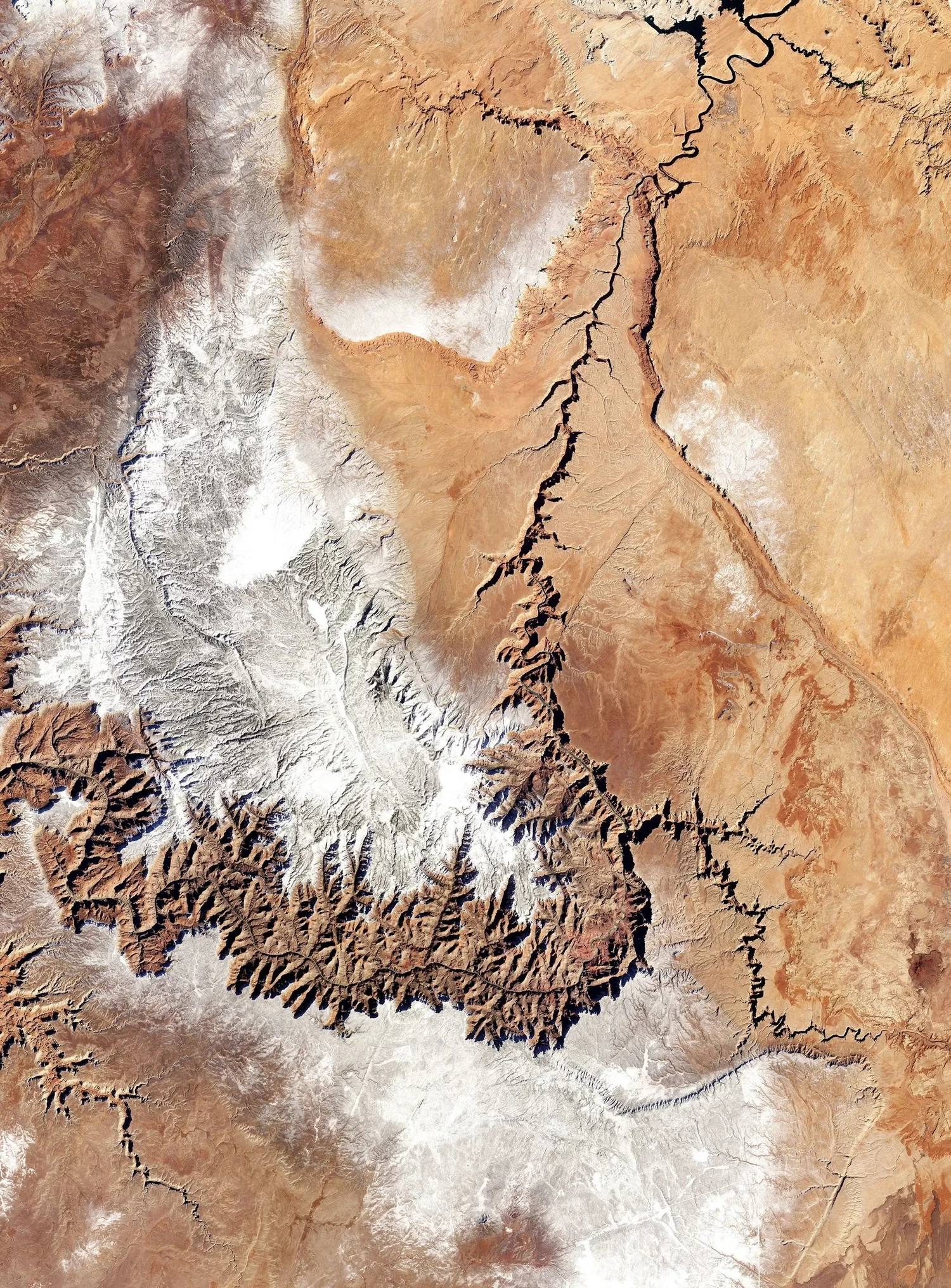
Pogonip Group provides 50 cm-resolution satellite imagery for one-time surveys and continuous monitoring. A deliberate acquisition cadence gives project teams a consistent spatial record for visible change, progress, and event response.
Live evidence / Satellite workspace
This live DroneDB workspace demonstrates how large raster imagery can be delivered for direct inspection—without flattening the experience into a static report figure.
Open full-screenOperational uses
Monitoring is designed around the decision cadence—not around imagery for its own sake.
Compare visible site conditions across time and direct attention to the areas that changed.
Give distributed project teams a consistent, current view of work without relying on ad hoc field photography.
Acquire current imagery after a weather, geotechnical, or operational event to support rapid orientation.
Apply a repeatable monitoring cadence across multiple sites, regions, or infrastructure corridors.
Service facts
Imagery can be updated daily for continuous monitoring or ordered on demand for a one-time survey.
Pogonip Group delivers high-resolution satellite imagery at 50 cm resolution.
Coverage is available for project sites worldwide, subject to normal satellite collection conditions.
Start a conversation
Tell us the area of interest, monitoring frequency, and decision need. We will define an acquisition and delivery approach.
Discuss a project