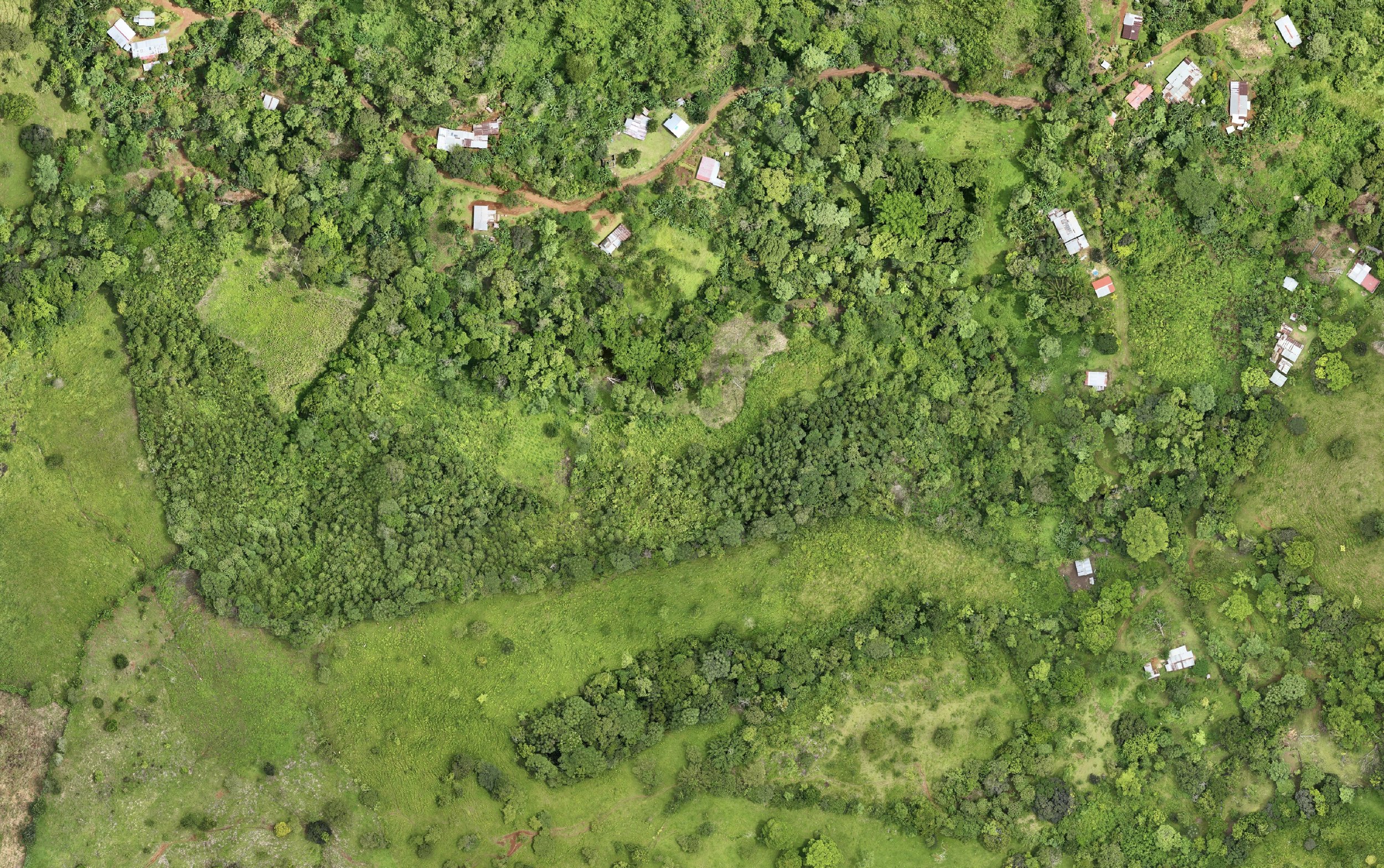
Aerial photogrammetry
Survey-grade 3D models, point clouds, orthophotos, and terrain products—captured quickly and processed in the cloud.
Geological + geospatial consulting
Pogonip Group turns field conditions, imagery, and legacy information into defensible technical insight—at the speed today's projects demand.
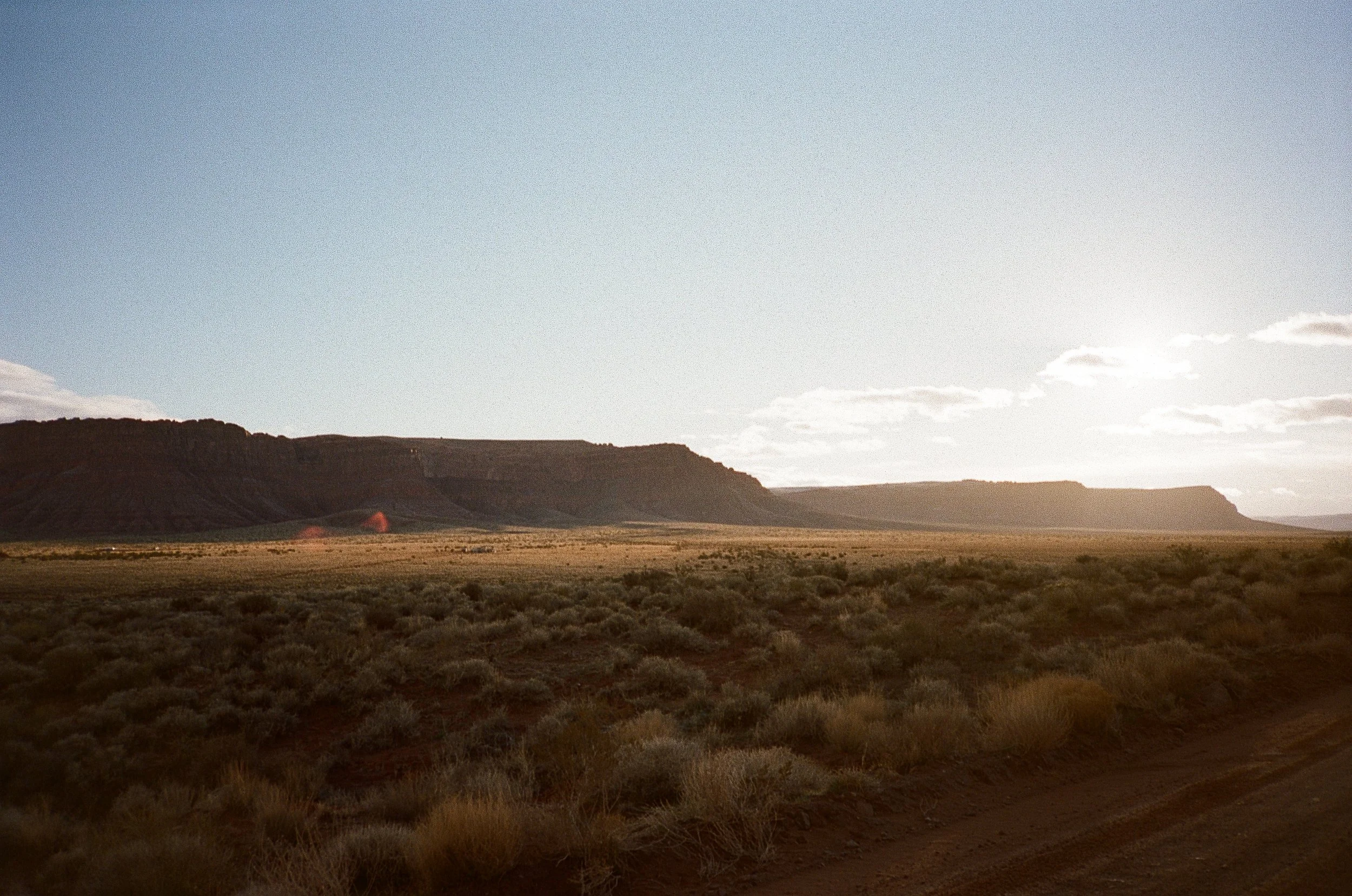
Expertise
The most useful answer rarely lives in a single dataset. We connect collection, processing, interpretation, and delivery into one accountable workflow.
Survey-grade 3D models, point clouds, orthophotos, and terrain products—captured quickly and processed in the cloud.
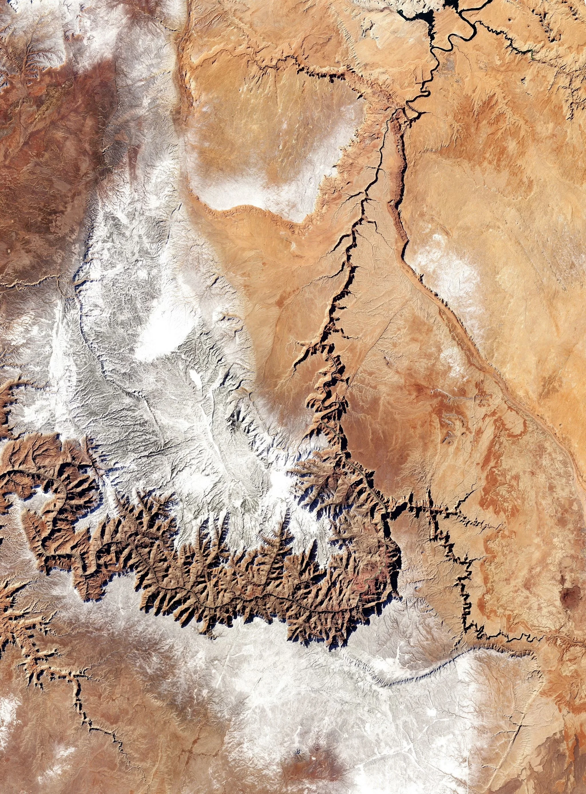
50 cm-resolution imagery, delivered on demand or as a continuous monitoring program for sites anywhere in the world.
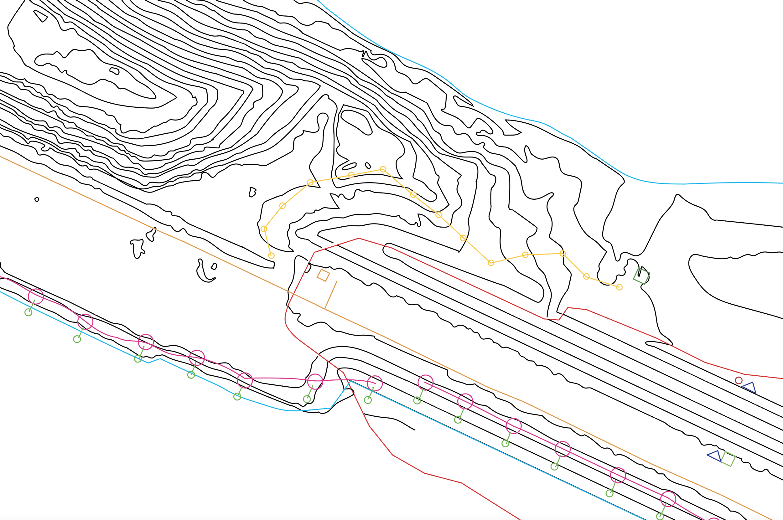
Current imagery, legacy records, and field data organized into practical GIS and CAD outputs that teams can use.
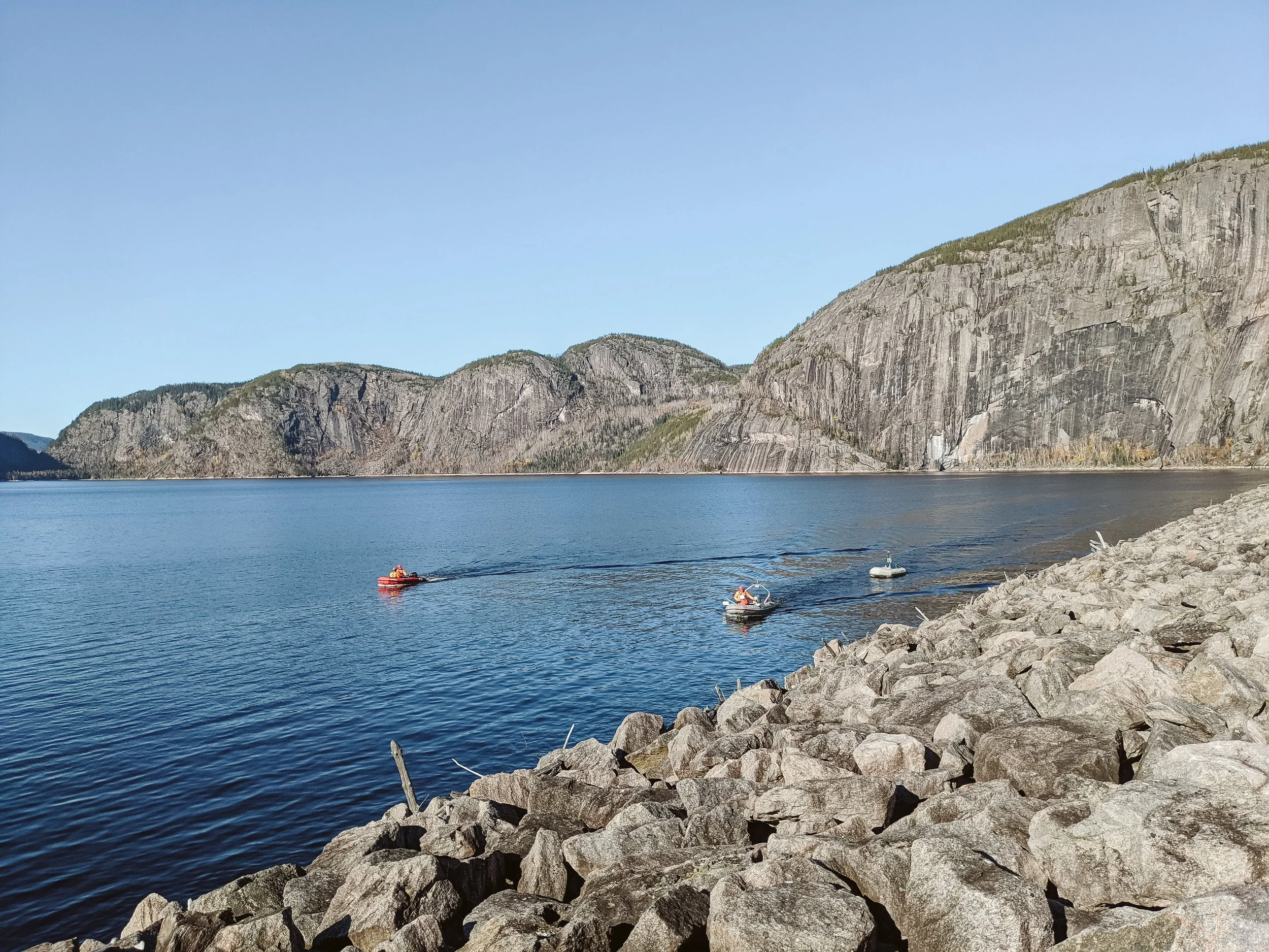
End-to-end coordination of logistics, field operations, documentation, and technical workstreams with global reach.
Live evidence / 3D model
This live photogrammetry workspace preserves the fidelity and utility of the underlying data. Pan, rotate, zoom, and inspect the model directly.
Open full-screenHow we work
We combine hands-on operating judgment with disciplined data delivery, giving decision-makers a clear line from collection to conclusion.
Direct access, documented decisions, and a steady flow of information across field, office, and client teams.
Cloud processing and deliberate field protocols compress delivery time while protecting collection quality.
Secure cloud delivery and open geospatial formats keep models, maps, and evidence easy to use and share.
One accountable partner
Engage Pogonip for a defined technical scope or as an extension of your team. Either way, the work is organized around the decision it needs to support.
Tell us what you need to knowStart a conversation
Tell us what needs to be understood, monitored, or delivered. We will respond with a clear next step.
Discuss a project