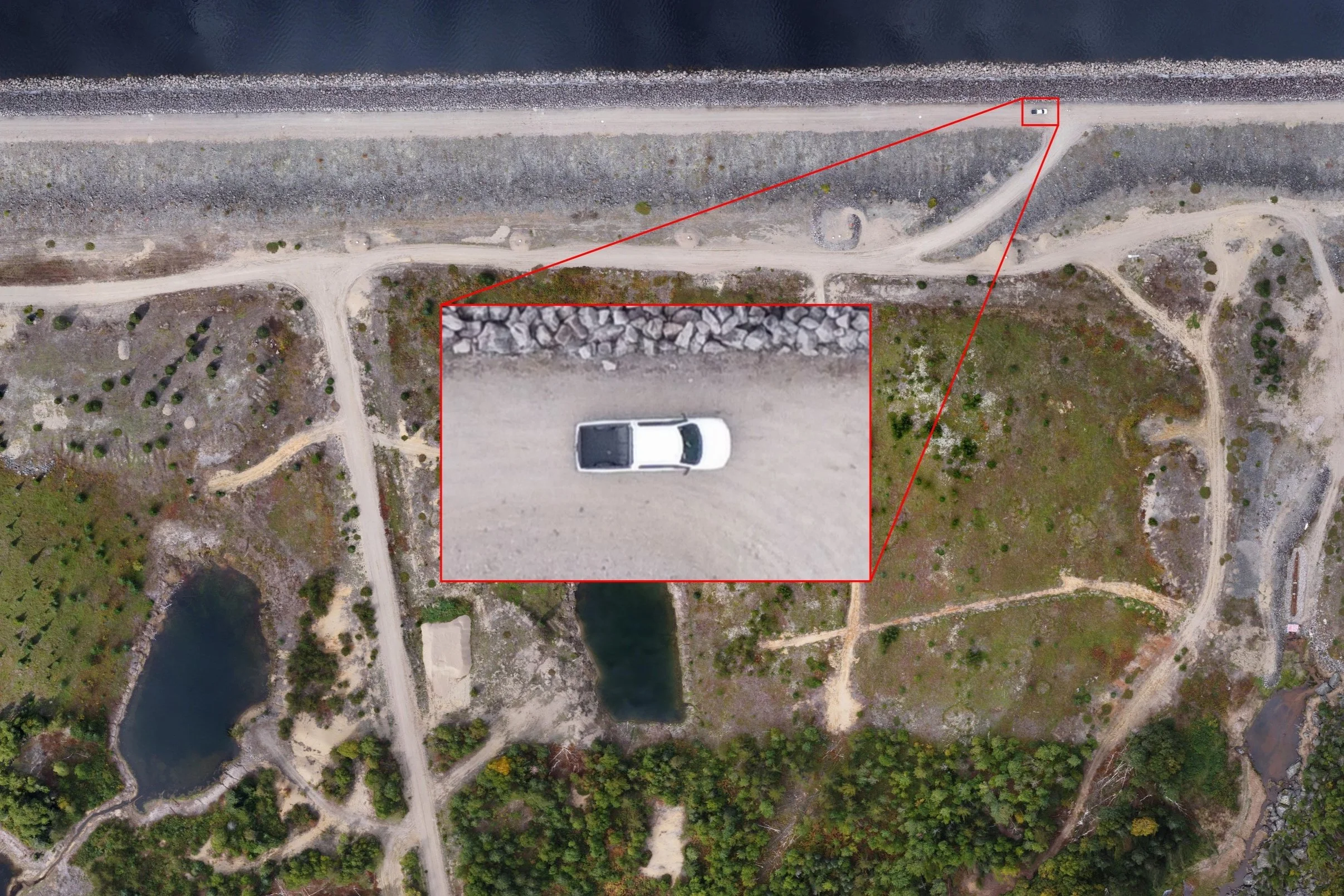
Aerial imagery becomes valuable when it survives the moment it was captured. The real deliverable is not simply a mosaic, point cloud, or mesh. It is a spatial record that can be checked, compared, and explained months later.
Start with the decision, not the aircraft
Flight altitude, overlap, control, and processing choices should follow the question the project team needs to answer. A progress record has different tolerances than a quantity calculation, a structural interpretation, or a baseline condition survey.
A defensible spatial record connects collection conditions, processing choices, and deliverables to the decision they are meant to support.
Repeatability is an operating advantage
Consistent acquisition geometry and documented control make it possible to compare one campaign with the next. Changes in ground surface, access, infrastructure, or environmental conditions become easier to separate from changes introduced by the collection method itself.
Keep the useful outputs open
Orthophotos, point clouds, elevation surfaces, and models should arrive in formats that the project team can actually use. The best workflow preserves the source record while producing lighter views for field coordination, reporting, and decision meetings.
What this means for project teams
Before commissioning the next flight, define the decision, the required accuracy, and the comparison that may need to be made later. That small amount of discipline turns imagery into durable project intelligence.